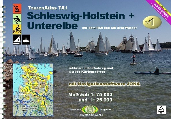
Canoe Map Guide TA1 3. Edition 2021
Product no.: 50066007
Description
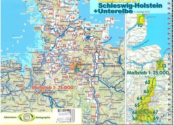
Water hiking between Lüneburg Heath, Baltic Sea and Denmark, cycling Elbe + Baltic Sea coast (canoe rowing and yacht waters) Scale 1: 75 000 and 1: 25 000 Water hiking between Lüneburg Heath, Baltic Sea and Denmark, cycling Elbe + Baltic Sea coast (canoe rowing and yacht waters) Scale 1: 75 000 and 1: 25 000 3rd edition 2021 including navigation software "JONA" ISBN: 978-3-929540-67-3 Format 29.7 x 21 cm, spiral binding, 86 pages, 64 maps (54x scale 1: 75,000, 10x scale 1: 25,000) serially on waterproof PP film ("Yupo"®)! Additional content compared to the 1st edition: Entire Hamburg port area in 1:25,000 scale; Elbe cycle path from Cuxhaven to Lauenburg and Baltic Sea cycle path from Flensburg to Travemünde; Navigation software "JONA" This atlas provides all the information that water hikers need on the go: km of water bodies, bans on landing and navigating, resting and bivouac areas, berths, slip, boarding and alighting options, buoyage, depths, bridge heights, lists of addresses and equipment of the clubs and Campsites, and a map display that doesn't stop behind the dyke, so it's also suitable for shore excursions or bike rides (to pick up the car or for long bike rides). For this atlas, about 3,500 km were explored on the water, more than 700 club, camping and guesthouse/hotel addresses with precise information were compiled, 64 map pages were completely self-drawn!... JONA: There is a JONA license number in the TA1 with which you can download and unlock the program.