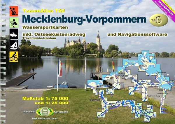
Canoe Map Guide TA6 2021 with Jona-Online
Product no.: 50066025
Description
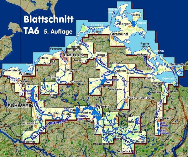
The 6th edition has been available since December 1st, 2020 Categories: Tour atlases, canoe and rowing waters, yacht waters The 57 strip maps of Mecklenburg-West Pomerania (including peripheral areas of other federal states) provide all the information that water hikers need on the go. The 6th edition has been available since December 1st, 2020 Categories: Tour atlases, canoe and rowing waters, yacht waters Product description The 57 strip maps of Mecklenburg-West Pomerania (including peripheral areas of other federal states) offer all the information that water hikers need on the go: Kilometers of water, bans on landing and navigating, resting and bivouac areas, berths, entry and exit options, sights, buoyage, depths, coastal characteristics, lists of addresses and equipment for clubs and campsites, and a map display that doesn't stop behind the dyke , i.e. for shore excursions or bike tours (to retrieve the car) is also suitable. The navigation software "JONA" is also included (as a download, activation code in the atlas) ISBN: 978-3-929540-79-6 Edition: 6th edition 2021 Binding Type: Spiral Binding Format: 29.3 x 21 cm Number of cards: 57 Material: waterproof polypropylene film ("Yupo"®) Number of pages: 76 Publisher: Jübermann, Uelzen Scales: 1:75,000 and 1:25,000