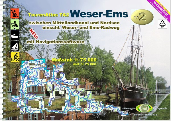
Canoe Map Guide TA2 Version 2018
Product no.: 50066002
Description
This atlas provides all the information that water hikers need on the go: km of water bodies, bans on landing and navigating, resting and bivouac areas, berths, slip, boarding and alighting options, buoyage, depths, bridge heights, lists of addresses and equipment of the clubs and Campsites, and a map display that doesn't stop behind the dyke, so it's also suitable for shore excursions or bike tours (to pick up the car). Approx. 3,500 km were explored on the water for this atlas, more than 500 club u. Camping addresses with exact information compiled. For cyclists, the Weser cycle path is included in detail Extension of the 3rd edition: Maps 1: 25,000 of Emden, Bremerhaven, Bremen, Weserradweg, JONA This atlas provides all the information that water hikers need on the go: km of water bodies, bans on landing and navigating, resting and bivouac areas, berths, slip, boarding and alighting options, buoyage, depths, bridge heights, lists of addresses and equipment of the clubs and Campsites, and a map display that doesn't stop behind the dyke, so it's also suitable for shore excursions or bike tours (to pick up the car). Approx. 3,500 km were explored on the water for this atlas, more than 500 club u. Camping addresses with exact information compiled. For cyclists, the Weser cycle path is included in detail Extension of the 3rd edition: Maps 1: 25,000 of Emden, Bremerhaven, Bremen, Weserradweg, JONA ISBN: 978-3-929540-63-5 Binding Type: Spiral Binding Format: 21 x 29.3 cm Material: waterproof propylene film ("Yupo"®) Publisher: Jübermann, Uelzen Edition: 3rd edition 2018 Number of cards: 74 Scales: 1:75,000 and 1:25,000 Number of pages: 92 Shipping weight (in kg): 0.38 Author(s): Erhard Jübermann, Martin Ritz, Joachim Pestke Publisher: Erhard Jübermann